

Visit Pittsburgh · From the airport in
Pittsburgh, from wheels down.
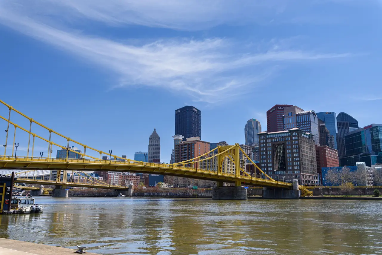
Three rivers, two 19th-century inclines, three pro teams and a skyline that ambushes you as you leave the Fort Pitt Tunnel. Downtown is under half an hour from the gate. Here's how to plan every kind of trip.
Photo: Michael Righi, CC BY 2.0 / Wikimedia Commons
Short answer
Pittsburgh International (PIT) is 17.4 miles, about 29 min with no traffic from Downtown. The 28X Airport Flyer bus ($2.75) runs to Downtown and Oakland every 30 to 40 minutes, and the T is free between Downtown and the North Shore stadiums. The essentials: an incline ride up Mount Washington, Point State Park, the Strip District, a game, and Oakland's museums. Fallingwater and Ohiopyle are about two hours south.
The city
Pittsburgh, by the numbers
Pick your trip
What brings you here?


The first ride
Go up Mount Washington.
Two working inclines, built in 1870 and 1877, climb from the riverbank to Grandview Avenue. From the top you see the Point, the rivers and the bridges all at once. They differ on fare, payment and hours.
Photo: Dllu, CC BY-SA 4.0 / Wikimedia Commons
Interactive
How far is it from the airport?
Every place in our visitor guides, sorted by drive time from the PIT terminal. Filter by what you're into.
15 places in range
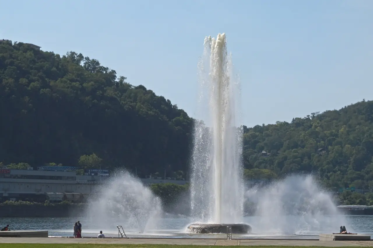
- Downtown and Point State ParkWhere the three rivers meet29 min17.4 mi
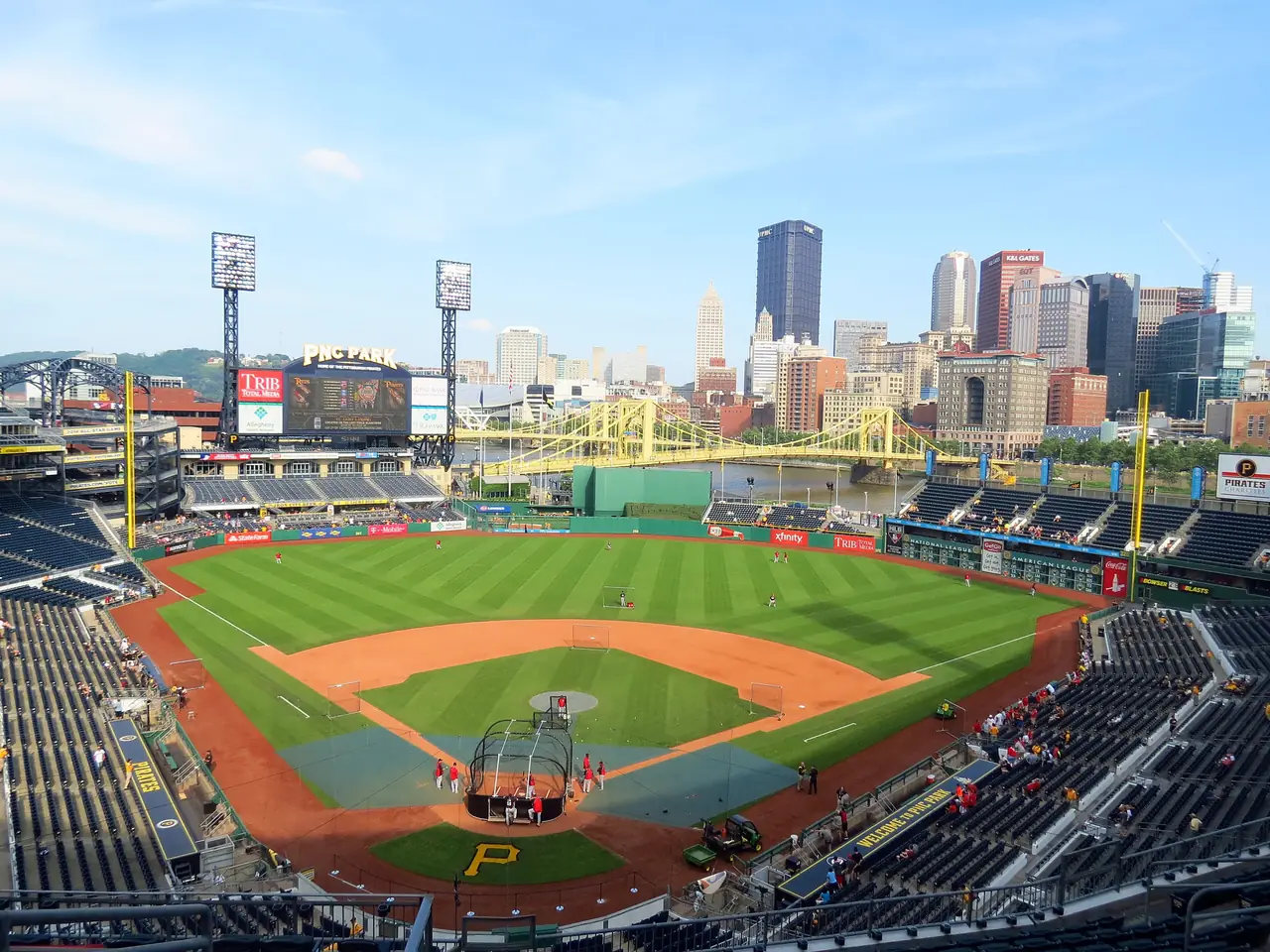
- North Shore stadiumsAcrisure Stadium and PNC Park27 min17 mi
- PPG Paints ArenaPenguins hockey30 min17.9 mi
- Mount Washington inclinesDuquesne and Monongahela29 min17.4 mi
- Strip DistrictMarkets and the original Primanti's31 min18.3 mi
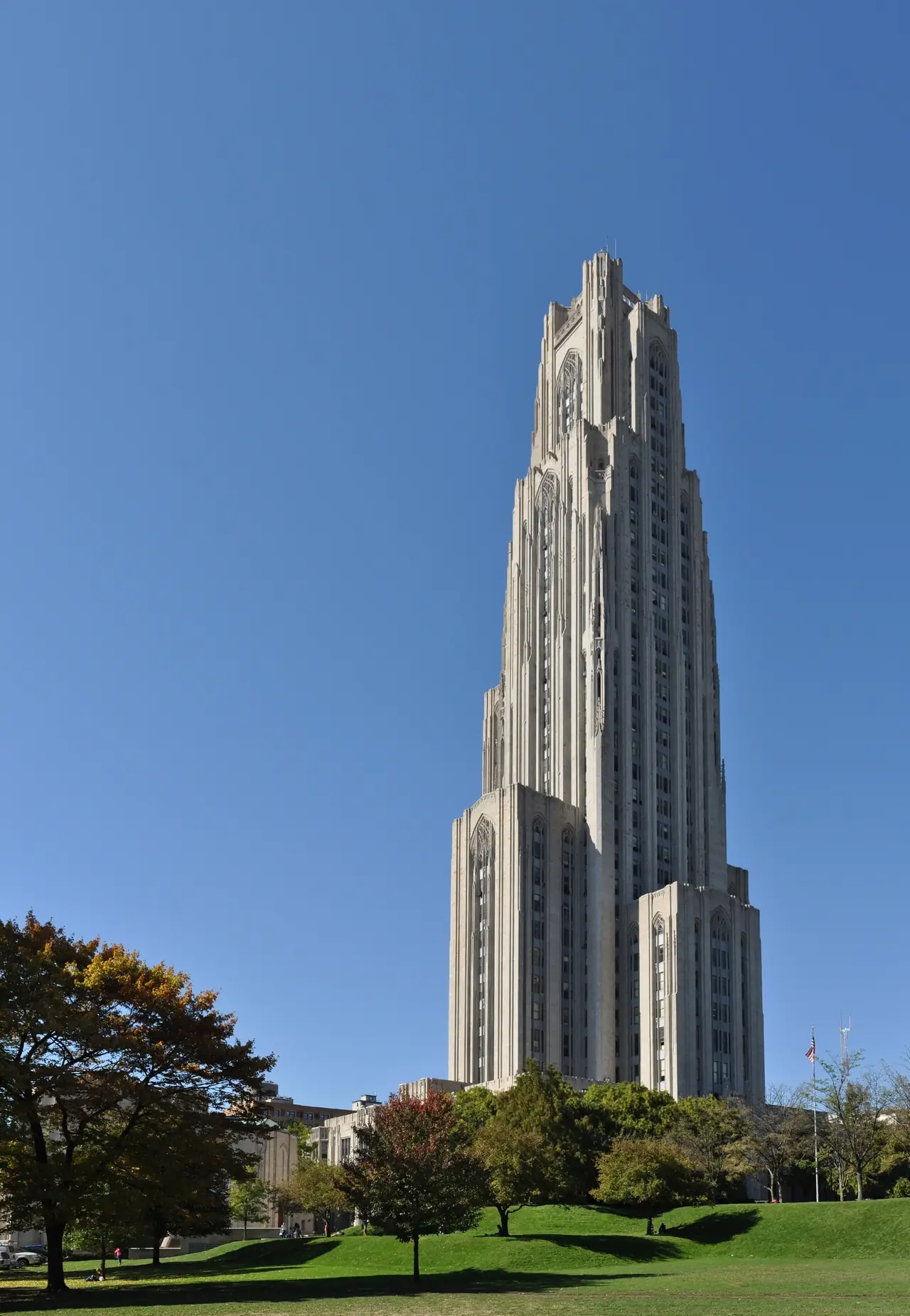
- Oakland: Pitt and CMUCampus visits and the Carnegie Museums35 min20 mi
- LawrencevilleButler Street34 min20.6 mi
- South SideEast Carson Street32 min18.6 mi
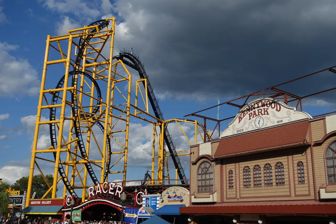
- KennywoodAmusement park, seasonal48 min27.3 mi
- Ohiopyle State ParkFalls, slides, whitewater123 min80.6 mi
- FallingwaterFrank Lloyd Wright121 min81.8 mi
- Kentuck KnobWright's Usonian house127 min84.6 mi
- Seven SpringsSki resort113 min76.2 mi
- Fort NecessityNational battlefield, free112 min73.4 mi
- Flight 93 National MemorialNational memorial, free136 min101.6 mi
Drive times from the PIT terminal are OSRM road-routing estimates with no traffic, computed October 19, 2026.
Game day
Three teams, one walkable core.
Acrisure Stadium and PNC Park share the North Shore, and PPG Paints Arena sits on the edge of Downtown. Each guide has the venue's own bag rules and a planner keyed to your flights.
A city of neighborhoods
Find your base.
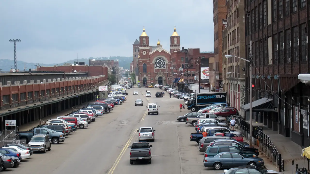
The Strip District's markets, Lawrenceville's Butler Street, Bloomfield's Little Italy, Oakland's museums and the South Side's Victorian main street. Four questions rank twelve neighborhoods for your trip.
Photo: Perry Quan from Oakville, Canada, CC BY-SA 2.0 / Wikimedia Commons
Two hours south
Fly in for the mountains.
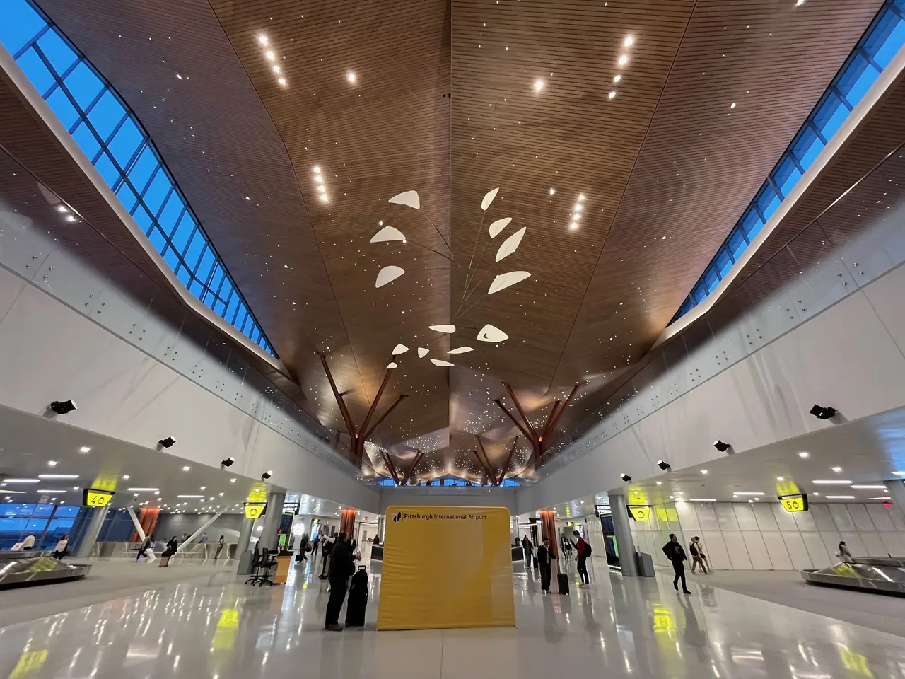
PIT is the big airport for the Laurel Highlands. Rent a car at the terminal and you're at Fallingwater or Ohiopyle in about two hours.
No nonstop from your city to Pittsburgh?
Requests go on a public leaderboard we share with the airport's air-service team.
Request a nonstopQuestions
How far is downtown Pittsburgh from the airport?
What is Pittsburgh known for?
Can you visit Pittsburgh without a car?
When is the best time to visit Pittsburgh?
Is PGH Nonstop the official visitor site?
Plan your trip
Sources
- Pittsburgh Regional Transit: Airport service (28X), accessed October 19, 2026
- Pittsburgh Regional Transit: Riding the T (Free Fare Zone), accessed October 19, 2026
- OSRM road routing (OpenStreetMap data), drive distances computed October 19, 2026
- Pittsburgh International Airport: nonstop destinations (page modified 2026-10-12)
- Pittsburgh Regional Transit: Riding the Inclines
- NOAA NCEI: U.S. Climate Normals 1991-2020, Pittsburgh International Airport